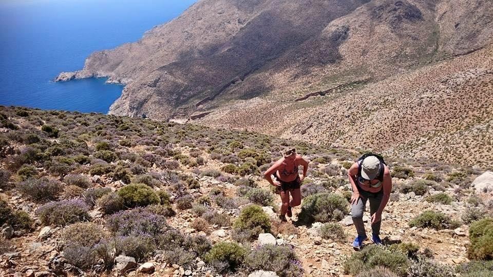
1st Walk: Nature Interpretation Walk
The interpretation walk is found at the centre of Tilos island and its beginning is close to the main road of the island (near the helicopter airport). Its direction is north-eastern and it is 2.500 metres long. It is an old island path that leads to a former Italian observatory that was built at the top of ProphitisIlias (or Olympus). The walk has big slopes, low vegetation and many rocks and, in general, is of moderate difficulty. We encountered it at the western side of Prophitis Ilias.
The path is marked by stones, which are coloured at some important points of the walk in order to guide visitors. Direction signs and briefing signs that give information about the natural environment of the island and describe the walk are found along the path.
– Part of the walk is from 0 to 670 meters. Duration of the walk without stops: 15′. Elevation 58 meters
You start your walk and you find a sign of large dimensions that shows you the path in micrography and also facilitates your trip by providing certain data such as distance, duration, etc. At the starting point of the walk there is a dirt road, where you can leave your vehicle before following the path. The first part of the walk up to the church has smooth bends. You make your first stop at the church. Watch the information sign and get informed about the landscape, the human activities and the island history.
– Part of the walk from 670 to 1700 meters (1030 meters length). Duration of the walk without stops: 25′. Elevation 324 meters.
At the second part of the walk you cross the biggest part of the hill and you meet smooth and abrupt bends. You will notice there interesting plants and birds species, while you progressively gain sight of the other parts of the island. At the end of the second part, you find an information sign concerning the flora and fauna of the island
– Part of the walk from 1700 to 2500 meters (800 meters length). Duration of the walk without stops: 20′. Elevation 456 meters.
At the third part of this walk you encounter abrupt slopes, you see interesting bird species, you can quench your thirst at a small spring with fresh water and at the end of the walk you find a small refuge where you can spend the night. At the end of the walk you find an information sign that informs you about the protection of the island natural environment and the ways that visitors can contribute to it. The walk leads to the top of the hill of Profitis Ilias, where you find the ruins of a former Italian observatory. This place was once used as a strategic point of monitoring the movements of boats on the Aegean Sea. This point is convenient for you to enjoy the panoramic view of almost the entire central part of the island. Finally, at that point there is an information sign about the most important sights and monuments of the island.